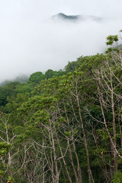
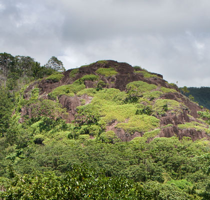
Unlike some of the other unusual rock formations on Pohnpei, the massive rock of Nipai is easy to miss. Obscuring trees prevent it from having the prominent visibility on the Circle Island Road that would make it an eye-catcher, even though it’s only about 230 meters north of the asphalt. Never the less, this utterly huge 160 by 120 meter basalt outcropping in Enipein Powe is wholly unique, easy to access, and absolutely a must-see for any adventurer. The rounded shape of the rock and its many terraces are probably a result of erosion and may indicate that the feature is much older than other more jagged outcroppings like Pwisehn Malek and Sokehs Rock.
The unpaved turn-off on the inland side of the road is 2.2 km (1.37 mi) east of Enipein Pah Elementary School or 1.34 km (0.83 mi) east of the Semwei River bridge. From there, it’s an easy 0.37 km (0.23 mi) walk along the dirt road to the last house (9-17% slope), where a 0.2 km (0.12 mi) footpath leads east (4% slope average), crosses the small Nanwou Stream (Pilen Nanwou) and arrives at the western base of rock.  The slope is not too steep here and there is a corridor (36% slope average) where you can find your way up without much difficulty or danger. Once on top, the levels of the rock can be explored and the spectacular view enjoyed in full.
Camping
Many locations on the terraces are perfect for tent camping, and you can filter water at the Nanwou Stream (Pilen Nanwou).
The area in which the trailhead resides is known locally as “Palkalou” and belongs to the Palasko Family. The first house on the left after crossing the bridge heading to Pahntehlap is the residence of the landowners (marked on the map with a yellow star). An access fee is charged by the landowners for non-resident visitors, all visitors must ask permission at the house before hiking on or camping.
- Plan for 2 hours for this hike.
- Contact: John Palasko – (691) 921-3814


