Camping
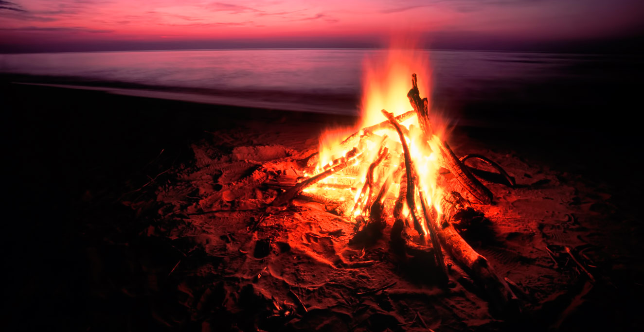
The foreigners’ love of camping is something that seems to be poorly understood on Pohnpei, where people usually camp only on over-night hunting or fishing excursions. There are no established campgrounds or camping facilities of any kind on Pohnpei or the surrounding atolls. However, it is possible to camp in many places on the island — usually on the tops of hills and mountains or on public land in the rainforested interior regions.
Bringing Gear on the Airplane
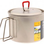
Almost any camping gear you plan to use on Pohnpei, you’ll have to bring yourself. The local Ace Hardware has some very basic items — Coleman Sportster II white gas backpacking stoves, rinky-dink 5-piece mess kits that don’t look like they’d stand up to more than a few cook-jobs, foam sleeping pads, and flimsy, heavy 2-man dome-style tents with very insubstantial rain-flies. That’s it.
Luckily, you can bring just about everything in your checked luggage. The catch is that each piece of luggage must remain under 22.68 kg (50 lbs) and have total linear dimensions (length + width + height) of less than 157.5 cm (62 in) to avoid costly over-weight / over-sized baggage fees. You will still have to pay an excess baggage fee for each extra piece of luggage beyond the first free one. This fee is based on your point of origin.
What You Can’t Bring
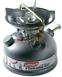
Stoves. Unless it’s brand-new and has never had fuel inside it, stoves are prohibited on airplanes. You can clean out the fuel tank or bottle and send the whole thing surface mail ahead of time, but expect it to take 6-10 weeks to get to Pohnpei. If you can’t wait and you need a stove, you’ll have to buy one on the island (and as we pointed out earlier, there’s just one crappy model available). But why buy one, when you can make one on-island for less than $10.00? See sidebar panel to find out how to do it.
Tarps Are Better Than Tents
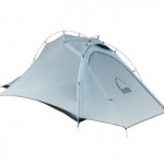
Wherever you camp, you’ll need a pair of tarps or a tent that can stand up to a tropical deluge. We recommend tarps rather than tents. Pohnpei’s extremely warm, humid environment makes tents problematic — they trap moisture and heat, making for a very uncomfortable sleeping arrangement. Even if your tent doesn’t leak, you probably won’t stay dry, as moisture condenses on the tent walls and drips down to the floor. Tarps allow the air to flow freely, keeping you cooler and drier.
Gear Reviews & Recommendations
Where to Camp
Mountains & Rainforest
The tops of mountains are usually public land on Pohnpei and, thus, game for camping. However, getting to a mountain-top almost always involves using a trail or route that crosses private property. All of the hikes featured on our guides have information about how to obtain permission. Furthermore, if you bring a local guide with you, he will be able to make necessary arrangements with landowners on your behalf. See below for more information. Locations will be added to this list as the eco-adventure guides are completed.
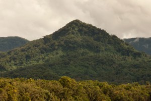
Dolen Eirike (“hill of Eirike”) is a prominent pyramid-shaped peak in Eirike district at the rear of Nett -- easily visible from Kolonia and standing out from everything else as one drives south from the coast. The ascent to the ...
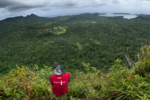
Dolen Merewi is a flat-topped hill that stands apart from the interior mountains to the west and is highly conspicuous when driving through northeastern Madolenihmw. During the Spanish Period (1886-1898), the hill played a pivotal role in an armed conflict ...
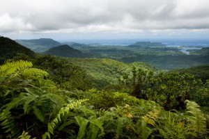
Dolen Nahnsapwe, “hill of thunder,” is a small peak near the Nett-U border. As the crow flies, it's about 1.3 km (0.8 mi) southwest of the Kupwuriso summit. Though rarely visited and not the highest point in the area, Dolen ...
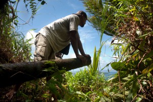
Dolen Nett ("hill of Nett") is a steep-sided mountain running the length of the Nett Point peninsula. Leaf-shaped, this peninsula juts north into the lagoon east of Kolonia and is said, in myth, to have been formed by the corpse ...
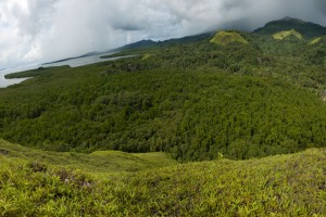
Treeless Hills & Fern Meadows One of the most visually distinctive features of the area between Pehleng and Pwudoi involves the fern meadows that crown the tops of several treeless hills on both sides of the main road. These features ...
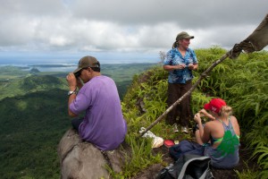
Kupwuriso, Pohnpei's fifth highest mountain (depending on how you count them), is impossible to miss when driving through eastern U, where it towers over everything, its precipitous slopes clad in groves of endemic palms called kotop (Clinostigma ponapensis). When the ...
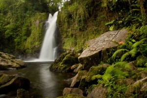
Liduduhniap Waterfalls The easiest waterfalls to visit on Pohnpei (no hiking required) are the tiered "horse-tail" falls, Liduhduhniap, just a few kilometers from Kolonia. When the Greater Nett Eco-Adventure Guide was published in 2015, we wrote of Liduduhniap: "Some might ...
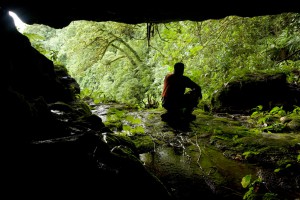
Tucked away in the little-seen Nett hinterlands is one of Pohnpei’s most beautiful hiking destinations. Uluhlen Lou Rahn, a fence-like ridge, extends northwest from the place where the mountains of U meet those of Nett, hiding from view the verdant ...
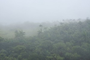
The Big Mountain The highest mountain in the Federated States of Micronesia (FSM) is called Nahnalaud (which means "big mountain") and is located almost in the exact middle of Pohnpei Island. Pohnpeians consider the mountain sacred and regard it with ...
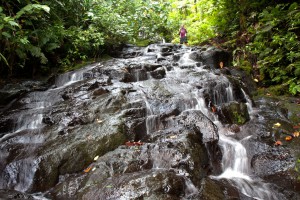
Nan Kiepw Nan Kiepw Nan Kiepw, which means “in the lilies,” is a hillside overshadowed by Dolmweir peak. A Pohnpeian myth tells of a Yapese magician, named Sou Iap, who voyaged to Pohnpei and was responsible for the creation of ...
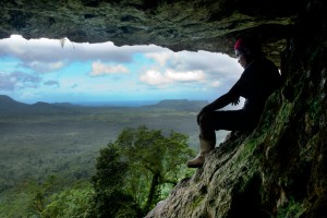
Anyone who takes a good look at the mountains on the eastern border of Nett will note a dark patch of naked basalt amid the otherwise unvarying green of the steep hillsides. This is the cliff-wall and caverns of Nan ...
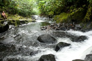
This route passes through the gorgeous valley of Nankepinmerepw, following the upper tributaries of the Nan Riohk Stream (Pilen Nan Riohk) and eventually arriving north of Nahnalaud on an arm of the major mountain system. One guide stated that the ...
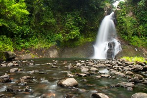
Located on the pristine Senipehn River, Pahn Sile is one of the few waterfalls well into the interior that almost anyone (even small children) can reach without the help of a guide -- as long as you keep your eyes ...
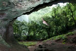
Pahntakai literally means "under the rock" and one visit makes it immediately apparent why this geologically-unique location was given its name. A thin waterfall plummets over a concave cliff-wall more than 30 meters high, which shelters a wide strip of ...
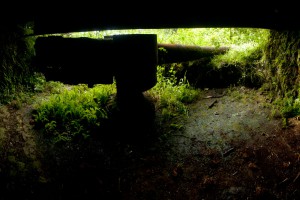
Sokehs Mountain or Pohndollap, which means "on the big hill," is a long, mostly flat-topped ridge running north-south along the length of Sokehs Island with a knoll-like summit near the middle. The mountain was a refuge for the insurgents of ...
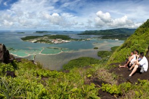
Paipalap, or Sokehs Rock, is without question the most striking feature of Pohnpei’s topography. Over 100 vertical meters (328 ft) of exposed basalt form the upper portion of a gigantic volcanic plug that juts from the north end of Sokehs ...
Pohnpei has many lagoon islands that are fantastic places to camp, especially for paddlers. There are also two nearby atolls. In most cases, Pohnpei’s islands are pure camping experiences (you’ll have to bring everything, including tents or tarps for shelter), while a few have small, thatched huts for visitors to use. All of the islands are privately-owned, so you’ll have to obtain permission to visit and occasionally pay a small fee.
- Check out the following profiles on our Islands page for detailed information about island features, getting permission for overnight stays, fees, and boat transportation (when available): Black Coral*, Dahu Reirei*, Dekehmwahu, Dekehtik, Kehpara*, Na, Nahkapw, Nahlap*, Nahnningi (Para Nuii), Nahpali, Nahtik, Peniou, Ros, Ahnd Atoll, and Pakin Atoll.
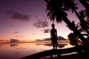
Pohnpei's Satellite Atolls Beyond Pohnpei’s lagoon, the closest land to be found exists on two “satellite atolls” called Ahnd (pronounced änt) and Pakin (pä.keen). An atoll is made up of a number of coralline islets in a ring around a ...
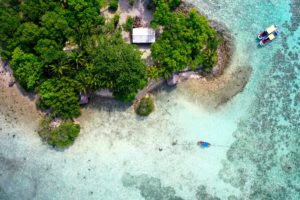
"Black Coral" is the southernmost islet in the Namwmour chain of islands that straddles Kehpara Pass (Dauen Kehpara) on the southwest corner of Pohnpei's barrier reef. It's true name is said to be Kehpara, but hardly anyone calls it that ...
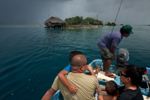
Dahu Reirei (“long channel”) is a long, narrow, man-made islet constructed on a shallow reef with several huts for picnickers and campers and lots of pleasant swimming and snorkeling nearby. The tiny place can get uncomfortably crowded on weekends and ...
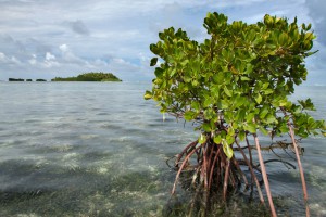
Uninhabited little Dekehmwahu ("good island") is located just east of Nahpali in Madolenihmw Municipality. It's a rough oval with a couple of small, sandy beaches and a few places to pitch a tent. The best beach is at the northwestern ...
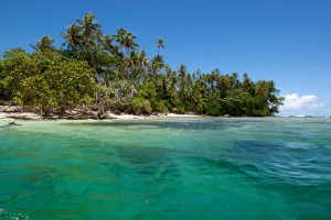
Dekehtik, which means "small island", also called Sand Island is an uninhabited coral islet west of Na, of which it was once a part (not be confused with the island of the same name on which the airport is located) ...
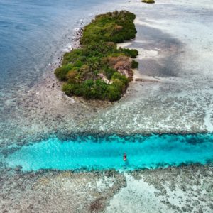
Though not as developed as Black Coral the small thatched huts are adequate for camping trips, the island is equally as shady and much larger than Black Coral, and it actually offers easier access to the excellent snorkeling around Kehpara ...
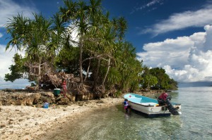
This island is claimed by the same family as Dahu Reirei and has no true name, but as it lies adjacent to the primary channel every boat in the area uses to go from Areu and Ohwa to Madolenihmw Bay, ...
Mwudokolos is found a half-kilometer (0.33 mi) northeast of Metipw and easily accessed from the coral-dredged causeway/dock found there (ask at the nearest house for permission to launch if you're paddling out). The privately owned, but uninhabited, island has prehistoric ...
Na appears to be the largest island in Madolenihmw after Temwen, although it mostly consists of mangrove forests. In the mid-1830s, Na was home to a renegade Pohnpeian chief -- the Wasai -- who joined a group of foreign whalers ...
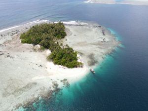
Nahkapw is the island directly across from Nan Madol, and if you want to stay overnight and explore the ruins over a couple of days, this is the place to camp. The island is composed of coral rubble and thickly ...
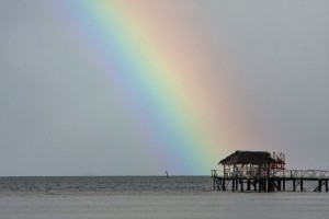
Nahlap, owned by former FSM congressman John David, has become one of the most popular lagoon island get-aways in Pohnpei State largely because it's easy to get to, affordable, and has lots of huts for visitors. There are two docks, ...
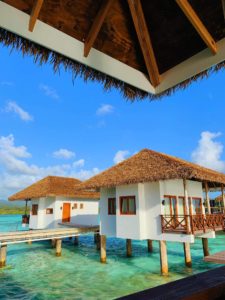
Nahnningi is known by most as "Joy Island". There used to be a popular camping operation there in the 1990s, but for many years the island was not open to tourists. Recently it has become available again, but even more ...
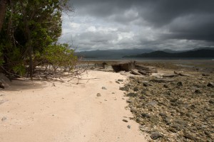
Nahpali is a long, narrow reef island running roughly northeast-southwest and located northeast of Temwen Island in Madolenihmw Municipality. The island is privately owned by the Senda family and has remained largely undeveloped. In 1836, a war that erupted between ...
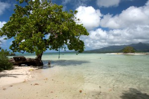
Penieu is a gorgeous reef island in the southeast next to Kepidauen Ne (pass). The island is a major rookery for a colony of noddies and other seabirds, which fill the air with raucous clamor as they swoop around the ...
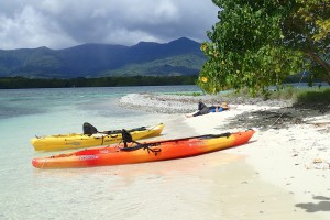
Ros is another beautiful uninhabited reef island in the south. The long, skinny island seems to be slowly disappearing as it erodes, but there are huge areas of wonderful sand on the west side to lounge about on and a ...
Adventures >> Camping


