
Welcome to the web site for the Pohnpei Eco-Adventure Map Guide Series, a collection of 13 high-quality tourist guides covering Pohnpei Island, Ahnd Atoll, and Pakin Atoll. This web site also provides supplementary information, photos, maps, and GPS data that we couldn’t provide in the printed material. It’s a work in progress. As each guide in the series is completed, corresponding pages will be added.
Our Motivation
As avid adventurers ourselves, the motivation to create the Pohnpei Eco-Adventure Map Series came naturally. Hiking, camping, climbing, kayaking, swimming, snorkeling, diving, surfing, and biking are what we’re all about, and we know there are a lot of people out there who love these activities as much as we do, who thrive on the beauty of nature and the thrill of exploration. The first time we visited Pohnpei in the mid-1990s, we were aware of the great potential the island had as an eco-tourist dream destination. What it didn’t have then and still does not have today is a reliable tourist infrastructure — a network of hotels, local companies, and other businesses devoted to tourism. We realized that it is quite possible for a person to visit Pohnpei and have absolutely no clue what can be done on or around the island — or how to do it. And that’s where it all started.
The simple truth is, we aren’t interested in creating new infrastructure or being key players in the development process on Pohnpei. All of that is the domain of the Pohnpeian people. They have to figure that out for themselves in order to secure their own future.
What we are able to do is gather the information, make the maps, and provide tourists with everything they need to know to get the most out of their Pohnpeian experience, infrastructure or no.
So there it is. Our motivation comes from passion, from love, from excitement, from the appreciation of beauty and complexity and culture, from the desire to share all of that with other people. It also comes from belief — the belief that Pohnpeians are special people with a special island, and that, despite what anyone might tell them or they might tell themselves, Pohnpei has a great deal to offer the world. It is not resource-poor. Its resources are wonder and adventure and wildness, and these are things with great worth, things that should be protected and cultivated rather than exploited.
Our Mission: Adventurers Wanted
Our mission is rather simple — to make it clear to active, independent, and ecologically-minded travelers from around the world why a visit to Pohnpei would be worth their while (and money). We have absolutely nothing against luxury tourists that travel for the extravagant hotels and fine dining, for the bus tours and manufactured landscapes. But that’s just not our thing.
By creating the eco-adventure map guides, we’re focusing on what we think is a more realistic demographic, a collection of diverse people who routinely step outside their comfort zones in the spirit of personal growth and would fall in love with Pohnpei now, just the way it is.
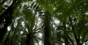
We’re looking for dreamers, for wanderers, for quixotic romantics, for thrill-seekers and tree-huggers, for bird-watchers and plant-lovers, for people who see the world with the enthusiasm of children and seek their experiences outside in the ocean, on the waves, on the mountains, on sheer rocky crags, and in the steaming forests.
Come along with us. Pohnpei is waiting.
The Eco-Adventure Map Guides
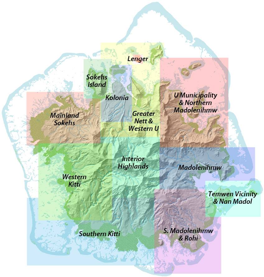
Each of our thirteen Eco-Adventure Map Guides covers a distinct region of Pohnpei (shown on the map at right). An effort was made to have some overlap so that no area was excluded.
Pohnpei Island was divided into nine zones: Greater Nett & Western U, U & Northern Madolenihmw, (Central) Madolenihmw, Southern Madolenihmw (& Rohi), Southern Kitti, Western Kitti, Mainland Sokehs, Kolonia Town, and the Interior Highlands.
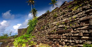
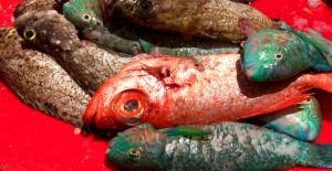
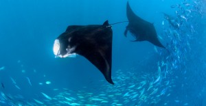
Additionally, three of the small lagoon islands were given their own guides, because of the high concentration of tourist attractions in those areas (Sokehs Island, Temwen Island Vicinity, and Lenger Island). The final guide — Marine Attractions — focuses on the coasts, mangrove forests, lagoon, barrier reef, and nearby atolls, Ahnd and Pakin.

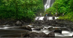
An incredible amount of effort was put into making these maps as comprehensive and informative as possible. Every trail shown on the guides was hiked by us (often multiple times) and logged with a sensitive GPS data logger. Paddling routes were paddled. Every site was visited and explored thoroughly. Historical sites were mapped using a combination of GPS logging and traditional methods. Countless days were spent in the forest, in the mountains, in the ocean, on islands, hiking, trekking, biking, camping, birding, swimming, paddling, snorkeling, climbing, talking to people, and poring over books and manuscripts in the library. It was certainly a labor of love, and we hope you all like it and can benefit from it.
Map Guides
Phase 1: Released October 2013 / Updated reprint released January 2017
Phase 2: Released July 2014
Phase 3: Released May 2015


Phase 4: Released January 2016

Map Guides in Pre-Production
Web Site Features
Travelers will be able to visit this web site for content, including:
- GPS coordinates for all points of interest and major landmarks at GPS Central
- Supplementary maps available for free download in PDF format
- Information on local conservation issues and how you can help to keep Pohnpei’s environment beautiful and healthy
- Expanded sections on history and mythology
- Basic travel information and recommendations (hotels, restaurants, shopping, electricity, getting around, staying healthy, nightlife / entertainment, etc.)
- Practical cultural tidbits
- Expanded information about all eco-activities— hiking and trekking, sport-climbing and traditional rock climbing, surfing, kiteboarding, paddling, biking, camping, swimming, snorkeling, SCUBA diving, visiting lagoon islands and atolls, special cultural events and experiences, and the prehistoric ruins of Nan Madol
- Photo galleries
How to Read the Maps
In all our maps, ten-meter contour lines have been combined with shaded relief to provide adventurists with a clear understanding of the island’s terrain, as contour lines alone can sometimes be difficult to “read.” Indexed contour lines occur every 50 meters and are labeled with elevation in meters. Roads, trails, and routes are broken up into logical segments, usually between points of interest. Each segment begins and ends with a red square marker. Distance information refers to the segment between a given pair of markers. Distances are listed both in metric and English measurements–usually kilometers (km) and miles (mi) — when space allows. In the case of inset maps that cover very small areas, distance is measured in meters (m) and yards (yd).
Map Symbols
| Launch Site A suitable location for launching a kayak, canoe, or paddleboard | |