Downloadable GPS Data Files
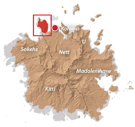
The following files contain all the packaged GPS data for each of the featured locations in Sokehs Island.
Three file types are provided. KMZ and KML files are compatible with Google Earth. KML is compatible with Google Maps. GPX files can be imported into ArcGIS (a professional mapping application) and some hand-held GPS devices.
Sokehs Island (2013) – All destinations and landmarks
Coordinates
The following coordinates correspond with sites featured on the Sokehs Island Eco-Adventure Map Guide. It is our dream to eventually create a Pohnpei GPS app that could be uploaded to smartphones and other devices, but for now, these points of interest can be entered manually in a hand-held GPS device as needed.
| Sokehs Ridge Trailhead / Parking A | —- | 6.961462° 158.195136° |
| Overlook / Parking B | —- | 6.967450° 158.191733° |
| Japanese Stone Wall | —- | 6.963677° 158.191191° |
| Japanese Foundation | —- | 6.963862° 158.191156° |
| Japanese Lookout Post | —- | 6.963977° 158.190538° |
| Japanese Personnel Tunnel | —- | 6.964164° 158.190475° |
| 12.7 cm Anti-Aircraft Gun 1 | —- | 6.964264° 158.190400° |
| 12.7 cm Anti-Aircraft Gun 2 | —- | 6.964161° 158.190933° |
| Japanese Command Post Entrance | —- | 6.963936° 158.190680° |
| Japanese Command Post Foundations | —- | 6.964045° 158.190628° |
| Japanese Concrete Stairs | —- | 6.963892° 158.190686° |
| Japanese Barracks Foundations | —- | 6.963401° 158.190810° |
| Japanese Stove | —- | 6.963339° 158.190848° |
| Japanese Concrete Cistern | —- | 6.963368° 158.190658° |
| 15 cm Coastal Gun & Bunker | —- | 6.962280° 158.189922° |
| Japanese Rifle Pits | —- | 6.966399° 158.189686° |
| Japanese Defensive Trench & Monument | —- | 6.969568° 158.189515° |
| Dollap Summit | —- | 6.969504° 158.189671° |
Sokehs Rock (Paipalap)
| Sokehs Rock Trailhead | —- | 6.977449° 158.193532° |
| Rock Formations / Bouldering Location | —- | 6.977236° 158.191589° |
| Tree Cliff | —- | 6.976622° 158.190800° |
| Rear Foot, Sokehs Rock | —- | 6.976828° 158.190633° |
| The Spire | —- | 6.976230° 158.190944° |
| The Adam’s Apple | —- | 6.975772° 158.190901° |
| Sokehs Rock Summit | —- | 6.978172° 158.190044° |
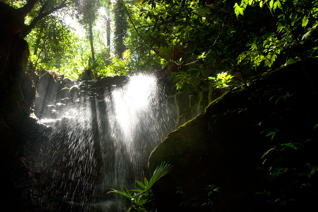
Kepindau & Pohn Pillap Waterfalls
| Eel Pool, Kepindau | —- | 6.976746° 158.185047° |
| Kepindau Falls Trailhead | —- | 6.976732° 158.184887° |
| Kepindau Falls | —- | 6.974786° 158.185720° |
| Pohn Pillap Falls Trailhead | —- | 6.976320° 158.183070° |
| Pohn Pillap Falls | —- | 6.975267° 158.182845° |
Around Sokehs Island
| Sokehs Municipal Office | —- | 6.958175° 158.194753° |
| Mwalok A-1 Store | —- | 6.968211° 158.196875° |
| Mwalok Community | —- | 6.968740° 158.196965° |
| Mwalok Congregationalist Church | —- | 6.969022° 158.196926° |
| Danipei Community | —- | 6.978790° 158.192938° |
| Danipei United Church of Christ | —- | 6.978364° 158.193000° |
| Historic Preservation Office Nahs | —- | 6.979906° 158.193745° |
| Portage Point | —- | 6.980388° 158.194301° |
| German Road A East End | —- | 6.979963° 158.191738° |
| German Road A West End | —- | 6.980274° 158.190965° |
| German Road B East End | —- | 6.980830° 158.189582° |
| German Road B West End | —- | 6.981042° 158.188068° |
| Nan Imwinsapw Picnic Area | —- | 6.981113° 158.188154° |
| Plateau Road North End | —- | 6.977893° 158.181932° |
| APSCO Quarry Office | —- | 6.980230° 158.181378° |
| The Doldrums Swimming Spot | —- | 6.983199° 158.176991° |
| Roie Church | —- | 6.970795° 158.176375° |
| Sokehs Pah Launch | —- | 6.969430° 158.176897° |
| Sokehs Pah Volleyball Court | —- | 6.964280° 158.183795° |
| Plateau Road South End | —- | 6.962296° 158.184584° |
| Sokehs Pah Basketball Court | —- | 6.955223° 158.189363° |
| St. Peter’s Launch | —- | 6.956975° 158.196907° |
| Sokehs Island Turn-off | —- | 6.956358° 158.198737° |
| Sokehs Island Bridge | —- | 6.957245° 158.195640° |
| Daumwoakote (Channel) East End | —- | 6.954688° 158.194789° |
| Daumwoakote (Channel) West End | —- | 6.953596° 158.181093° |
| The Labyrinth | —- | 6.951691° 158.177859° |


